Utilization of RapidEye data for improved hydrological and radiative transfer modeling
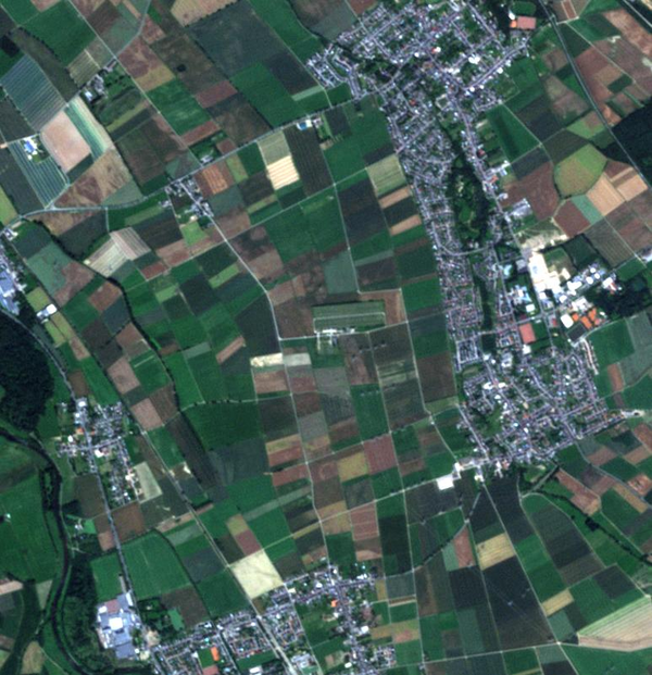
This study is focusing on the integration of multispectral data from RapidEye in the land surface model CLM of the Rur catchment in order to improve the calculation of evapotranspiration and soil moisture. Time series of LAI (for improved hydrological modeling for actual ET calculation) is of utmost importance to study seasonal and spatial variability of vegetation on the large scale. LAI measurements from RapidEye’s high spatial resolution imagery of 5m will highlight even variations within one crop field while variations between different vegetation types are even more discernible.

Moreover, an implementation of LAI derived from RapidEye will improve the radiative transfer calculation for soil moisture retrieval from microwave radiometers. Validation of RapidEye products are carried out by in situ vegetation observations at various test sites in the Rur catchment.
Dr. Carsten Montzka
Muhammad Ali
